The sights are listed roughly from south-west to north. Do not try to see them all in a day: pick the south-west or the north, and let the roads set the pace.
1 Slieve League (Sliabh Liag)
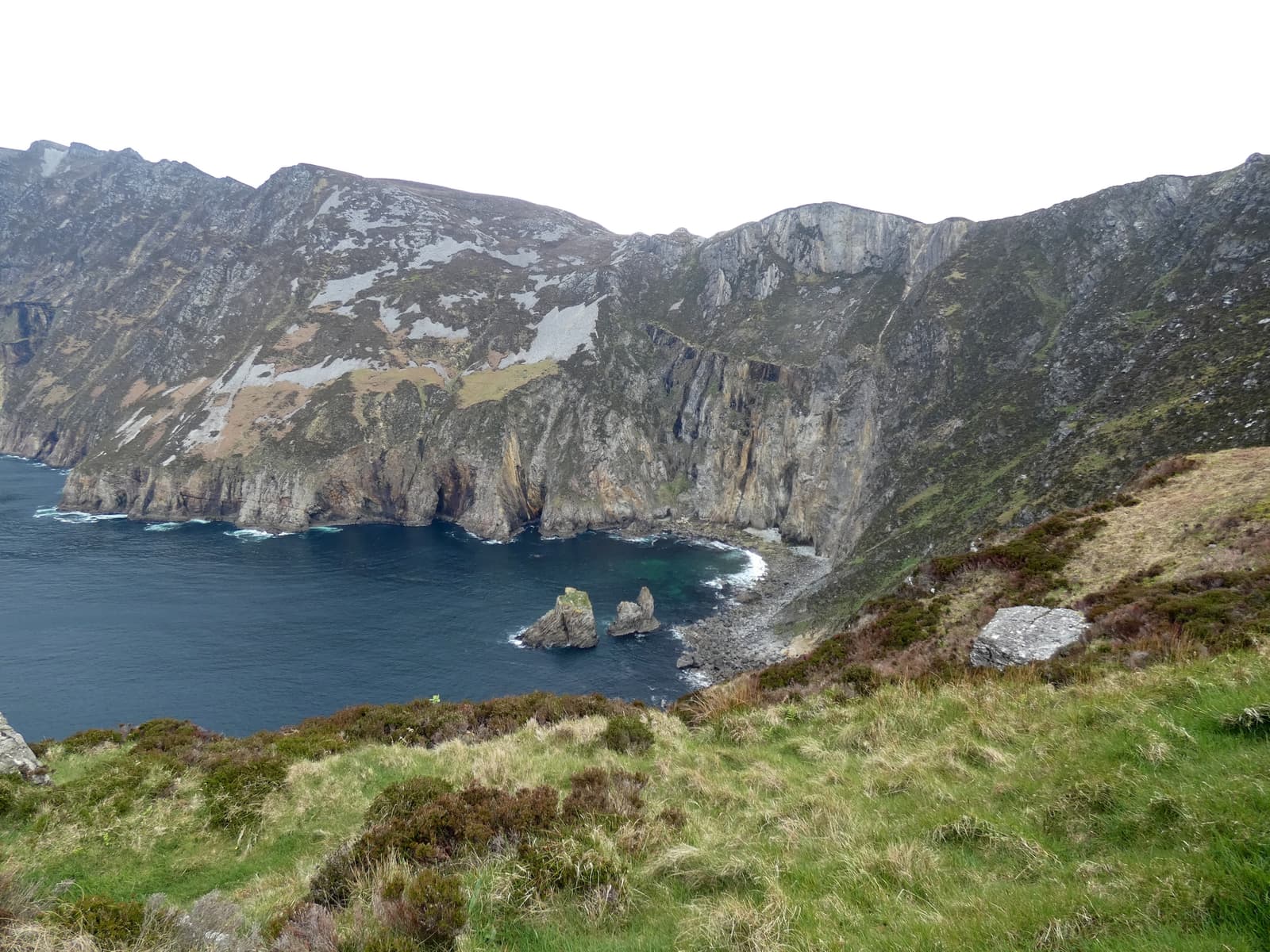
A mountain whose seaward face has been sheared away into cliffs about 600 metres high, streaked with colour and dropping to a churning sea. The Bunglass viewpoint gives the classic view; from there a rough path climbs on towards the summit ridge and the exposed One Man’s Pass, for experienced walkers only. Boats from Teelin show the cliffs from below.
Practical: Near Teelin and Carrick, about 1 h–1 h 15 min west of Donegal town. Park at the Sliabh Liag visitor centre and take the shuttle bus or walk; in high season private cars are restricted on the upper road. The viewpoint is free. Often in cloud — check before you go.
2 Glenveagh National Park & Castle
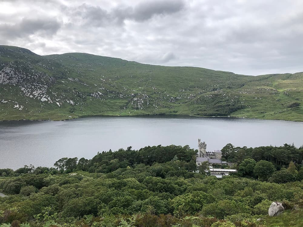
Some 16,000 hectares of mountain, bog, lake and native woodland in the Derryveagh Mountains. A nineteenth-century castle with celebrated gardens stands on the shore of Lough Veagh, 4 km from the visitor centre by lakeside path or shuttle bus. Golden eagles were reintroduced here, and Ireland’s largest herd of red deer roams the hills.
Practical: About 25 minutes north-west of Letterkenny. Park entry free; charges for the shuttle bus and castle tour. Bikes can be hired. Allow half a day. Midges are fierce on still summer days.
3 Malin Head & Inishowen
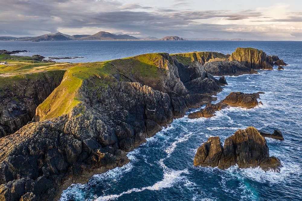
The Inishowen peninsula, between Lough Swilly and Lough Foyle, is circled by a signposted 160 km drive. At its tip, Banba’s Crown on Malin Head is the most northerly point of the island, with a signal tower, the word ÉIRE laid out in stones as a wartime marker for aircraft, and cliff walks to Hell’s Hole. On the way, the hilltop stone fort of Grianán of Aileach has views over three counties.
Practical: About 1 h 15 min from Derry, 1 h 30 min from Letterkenny. Free. Very exposed — hold on to car doors in the wind.
4 Errigal & Gweedore
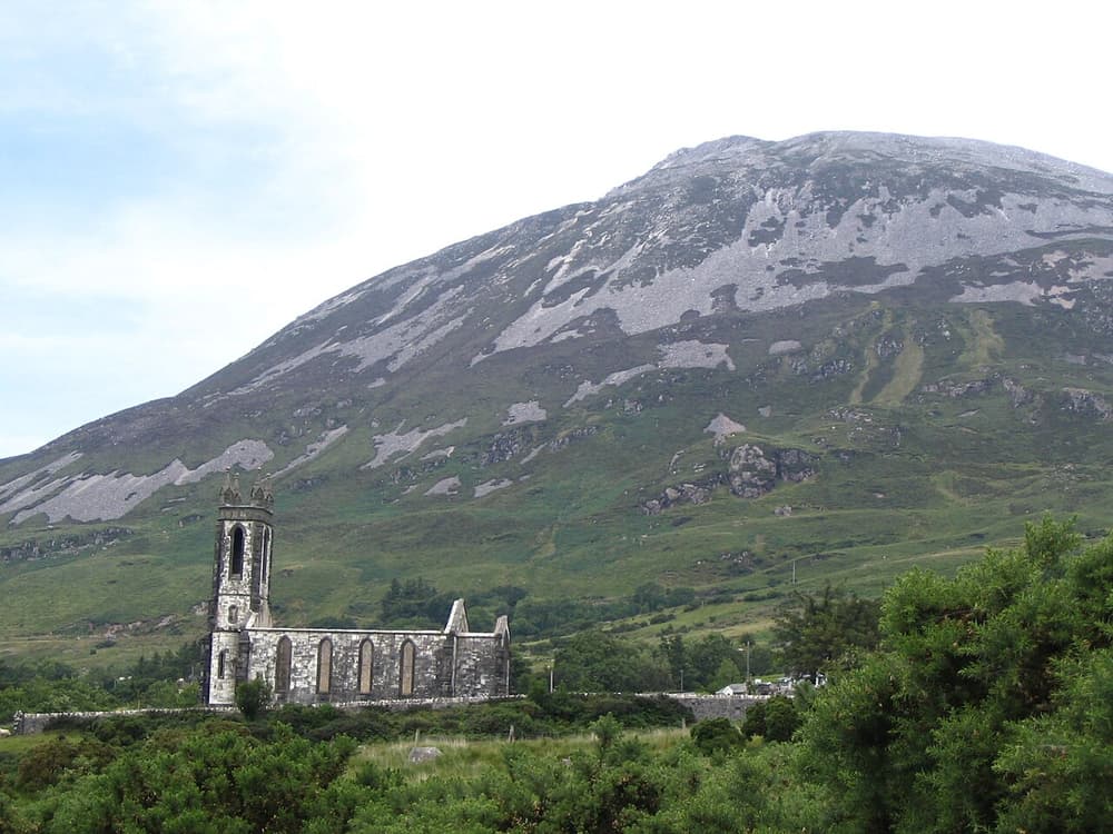
At 751 metres, Errigal is Donegal’s highest peak, a pale quartzite pyramid that glows pink at sunset. Below it lie Dunlewey Lake, the roofless “Old Church”, and the Poisoned Glen. This is Gweedore (Gaoth Dobhair), heart of the Donegal Gaeltacht and home ground of Clannad, Enya and Altan.
Practical: The climb starts from a car park on the R251 and takes 2–3 hours return on a steep, repaired path; do not attempt it in cloud or high wind. Signs here are in Irish.
5 Donegal town & castle
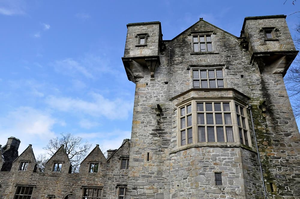
A compact market town at the head of Donegal Bay, built around a triangular square called the Diamond. The castle, a tower house of the O’Donnell chieftains with a Jacobean wing added by the English planter who took it over, has been finely restored. By the quay are the ruins of the friary where the Annals of the Four Masters, a great chronicle of Irish history, were compiled in the 1630s.
Practical: Castle: OPW site, Heritage Card valid; about 45 minutes. The town is a good place to buy tweed and knitwear.
6 Fanad Head & the northern peninsulas
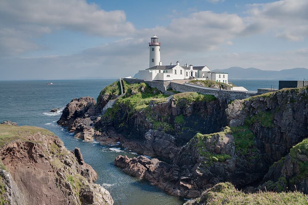
Fanad’s white lighthouse, built after a naval frigate was wrecked nearby in 1811, stands on a rocky point between Lough Swilly and Mulroy Bay; you can tour it and even stay in the keepers’ cottages. Nearby are the great curve of Ballymastocker Bay at Portsalon and, to the west, the Atlantic Drive around Rosguill and the dunes of Horn Head near Dunfanaghy.
Practical: About 1 hour north of Letterkenny on narrow roads. Lighthouse tours ticketed; hours vary by season.