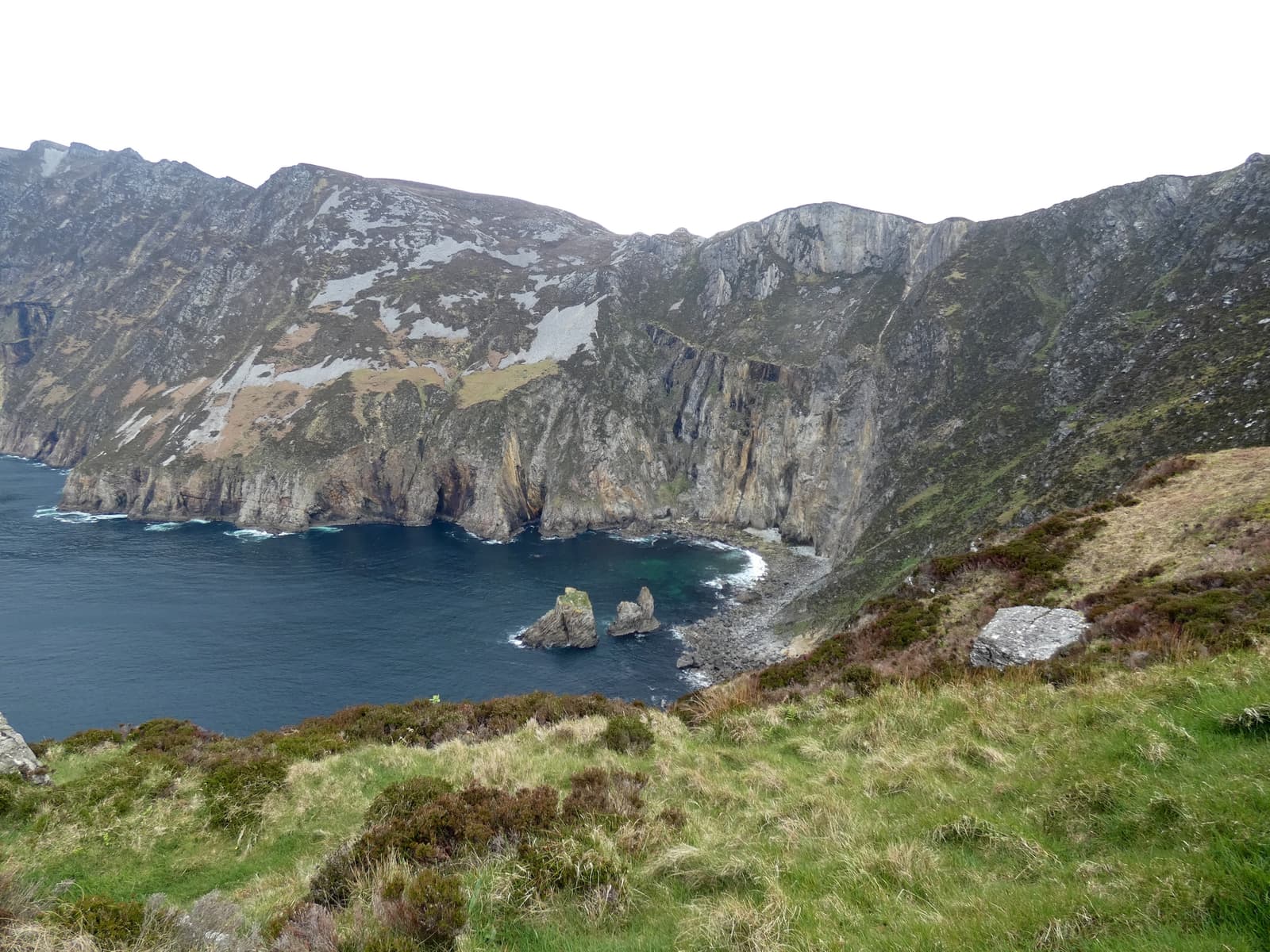
Donegal is the hardest of our twelve destinations to reach and to get around without a car. Coaches link the main towns with Dublin, Derry, Sligo and Galway, but the cliffs, parks and peninsulas are beyond the reach of regular buses.
Routes at a glance
| From | By | Time | Good to know |
|---|---|---|---|
| Dublin | Car | ≈3 h–3 h 30 min | To Donegal town via the N3 and Enniskillen (through Northern Ireland), or to Letterkenny via the M1/N2/A5. |
| Dublin / Dublin Airport | Coach | ≈3 h 45 min–4 h 15 min | Direct Expressway and private coaches to Donegal town and Letterkenny. |
| Derry~Londonderry | Car / bus | ≈35 min to Letterkenny | The nearest railway station to north Donegal is in Derry. |
| Belfast | Car | ≈2 hours | To Letterkenny via the M2/A6 and Derry; about 2 h 30 min to Donegal town. |
| Sligo | Car / coach | ≈1 hour | N15 to Donegal town via Bundoran. Sligo has trains from Dublin. |
| Galway | Car / coach | ≈3 hours | Via Sligo. |
| Donegal Airport (Carrickfinn) | Car | — | A tiny airport on the west coast with flights from Dublin; car hire should be arranged in advance. |
Times are typical and fares change — check current timetables and prices before you travel.
Crossing the border on the way
The most direct roads from Dublin to Donegal pass through Northern Ireland. There are no checkpoints, but you will be in the UK for part of the journey: speed limits switch to mph, your phone may roam onto a UK network, and visitors need to satisfy UK entry rules as well as Irish ones — see the travel guide. Tell your car-hire company. To stay within the Republic, drive via Sligo instead; it adds little time to Donegal town.
Driving in Donegal
- Main roads (N15, N56, N13) are good; coastal and mountain roads are narrow, winding and slow. Allow about an hour for every 50 km.
- Donegal town → Slieve League: 1 h–1 h 15 min. Donegal town → Letterkenny: 45 minutes. Letterkenny → Glenveagh: 25 minutes. Letterkenny → Malin Head: 1 h 30 min.
- The Glengesh Pass between Ardara and Glencolmcille and the Mamore Gap on Inishowen are spectacular and steep.
- Fuel stations are far apart in the west and north; fill up in the towns. Sheep lie on the road.
- Signs in the Gaeltacht are in Irish only: Dungloe is An Clochán Liath, Gweedore Gaoth Dobhair, Glencolmcille Gleann Cholm Cille.
Without a car
It can be done with patience. Coaches reach Donegal town, Letterkenny, Dungloe and Dunfanaghy; TFI Local Link minibuses serve some rural routes, including towards Glencolmcille, a few times a day; and in summer a shuttle has linked Letterkenny with Glenveagh. Base yourself in one town and use local taxis or guides for the last miles.
To the Causeway Coast
From Inishowen, a seasonal car ferry crosses Lough Foyle from Greencastle to Magilligan in about 15 minutes, a pleasant shortcut to the Causeway Coast. Otherwise drive via Derry.