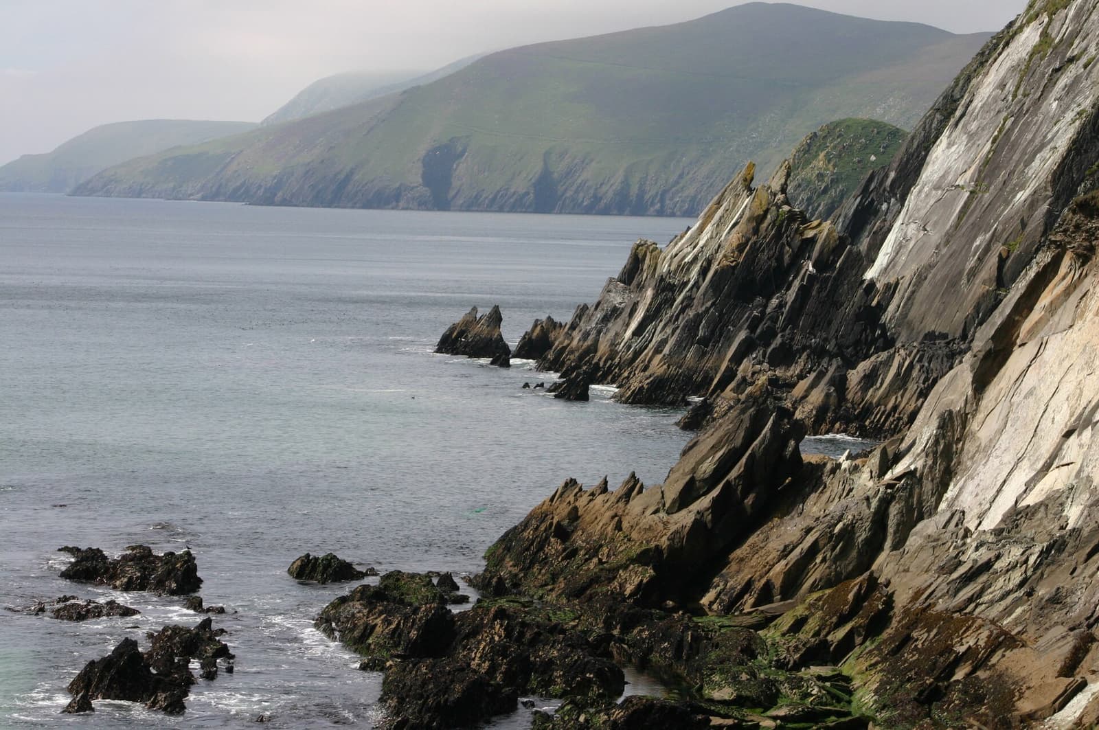
The Dingle Peninsula (Corca Dhuibhne) is the northernmost of Kerry’s great peninsulas and, many would say, the loveliest. Its western end is a Gaeltacht, where Irish is the community language, and its fields are scattered with standing stones, early Christian oratories and drystone beehive huts — more than two thousand recorded monuments in all.
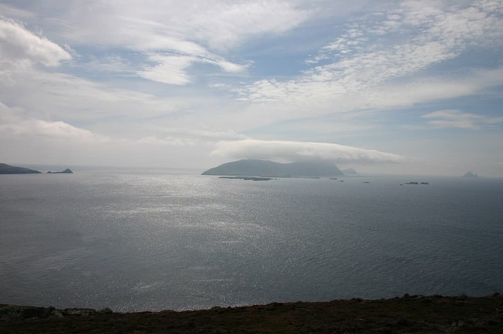
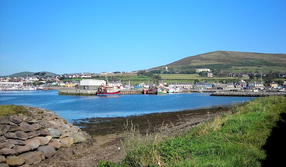
Dingle town (An Daingean) is a working fishing port of brightly painted streets, with a remarkable number of pubs — several doubling as hardware or leather shops — and music in many of them every night. West of town, the Slea Head Drive circles the end of the peninsula, with the deserted Blasket Islands offshore.
Highlights
- The Slea Head Drive — a 47 km loop of cliffs, beaches and ancient stones.
- Dingle’s pubs — sessions nightly, in rooms the size of a front parlour.
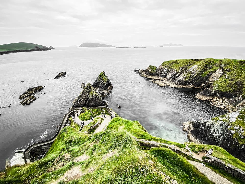
- Dunquin Pier and the Blasket Centre — the story of the island community that left in 1953.
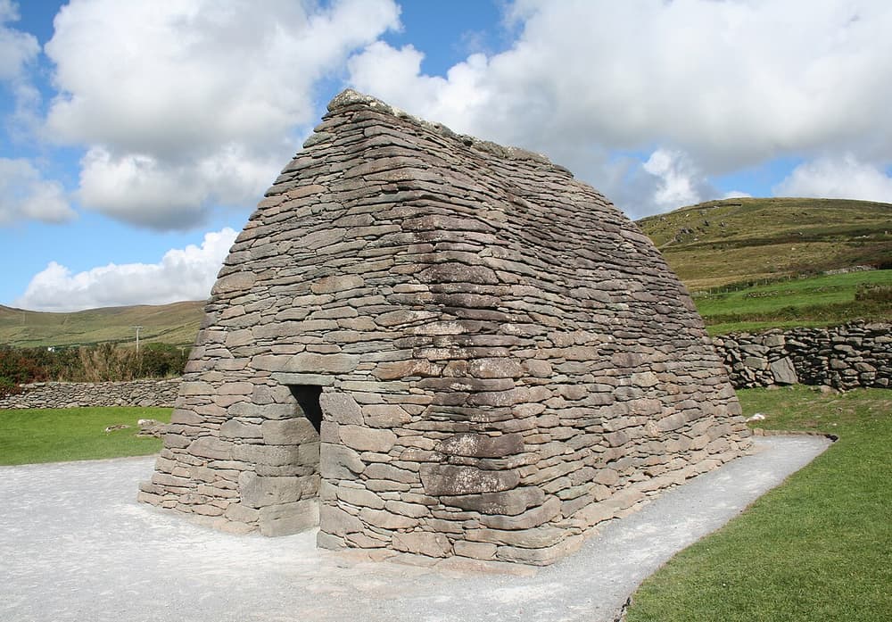
- Gallarus Oratory — a perfectly preserved drystone church, perhaps 1,200 years old.
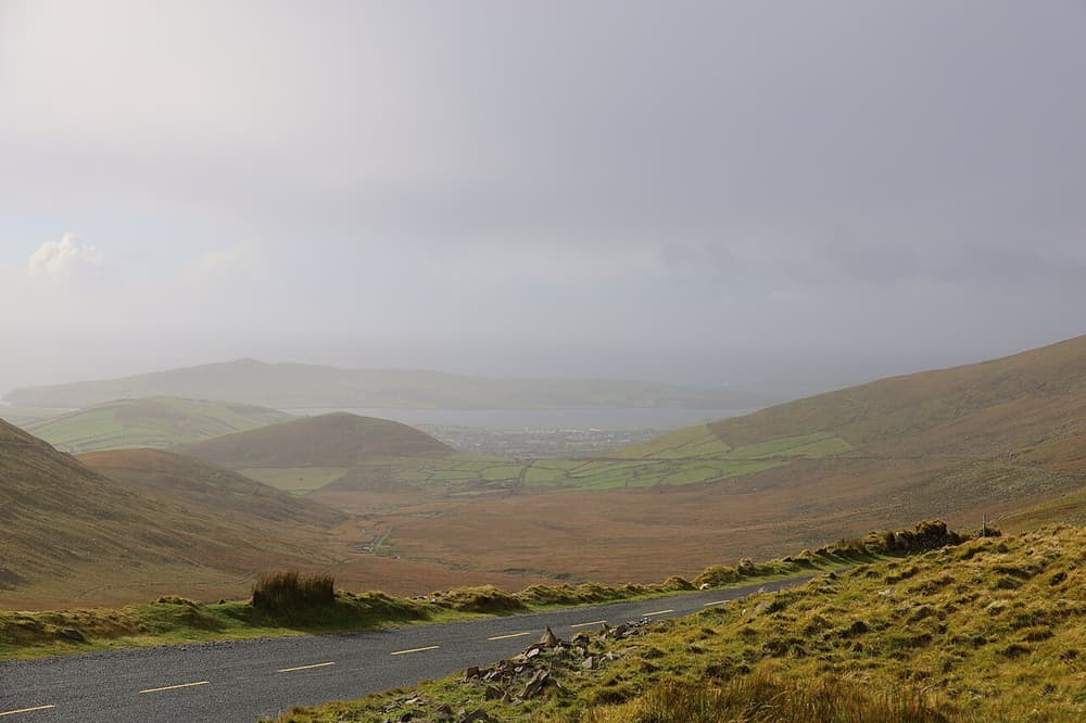
- The Conor Pass — one of Ireland’s highest mountain roads.
- Inch Beach — five kilometres of sand on the way in.
Quick facts
| Where | County Kerry, in the south-west; Dingle town is about 50 km west of Tralee |
|---|---|
| Jurisdiction | Republic of Ireland — euro (€), km/h; Gaeltacht (Irish-speaking) area |
| Gateway | Killarney (1 hour); Kerry Airport (1 hour); Shannon (2 h 30 min); Dublin (about 4 h 30 min) |
| Ideal stay | 2 nights |
| Best for | Scenic drives, archaeology, traditional music, seafood, walking |
| Getting around | Car, bike or tour; Dingle town is walkable |
How long to stay & where to base yourself
You can drive Slea Head on a day trip from Killarney, but Dingle is at its best after dark, so stay two nights if you can: one evening to settle in, a full day for the loop, a second night for the pubs. Dingle town is the base for almost everyone. For silence and sea views, look for a guesthouse out west around Ventry, Dunquin or Ballyferriter; walkers on the Dingle Way stay in villages along the route.