The classic day is the Slea Head Drive, a signposted loop from Dingle that is best driven clockwise, as the signs direct. Allow at least half a day; a whole one if you like to walk and look.
1 Dingle town
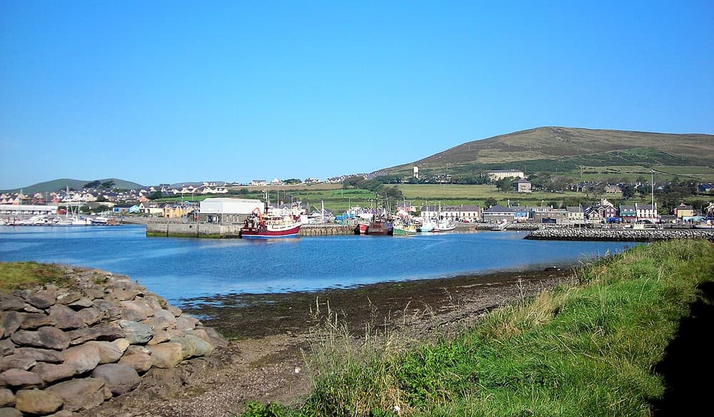
A grid of steep, colourful streets above a busy harbour. Wander Green Street, Main Street and the quay; look into pubs such as Dick Mack’s (half bar, half leather workshop) and Foxy John’s (bar and hardware shop); taste gin and whiskey at the distillery on the edge of town; and visit the aquarium if it rains. The harbour was for decades home to Fungie, a solitary dolphin who became the town’s mascot.
Practical: Free to explore. Pay parking at the harbour. Music starts in most pubs around 9.30 pm.
2 The Slea Head Drive
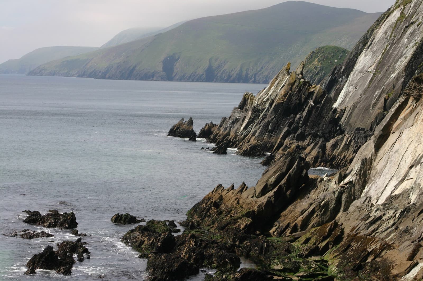
West of Ventry’s curving beach the road clings to the flank of Mount Eagle, passing the promontory fort of Dunbeg and clusters of beehive huts (clocháns) in the fields. At Slea Head itself a white crucifix marks the turn, and the Blaskets come into view. Just beyond is Coumeenoole, a small beach under high cliffs where scenes of Ryan’s Daughter were filmed.
Practical: About 47 km from Dingle and back. Drive clockwise. Several of the forts and beehive huts are on private farmland, with a small charge payable at the gate. Coumeenoole has dangerous currents — do not swim.
3 Dunquin Pier & the Blasket Centre
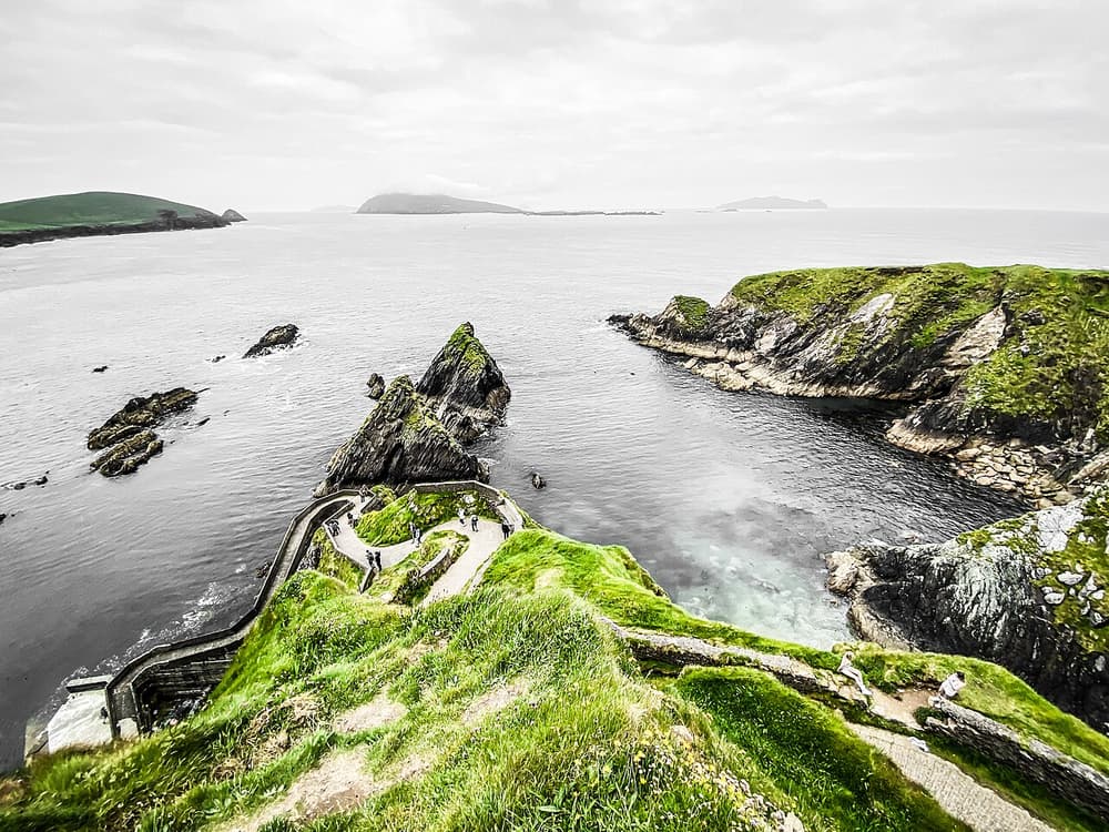
The path to Dunquin Pier (Cé Dhún Chaoin) zigzags down a cliff to the landing place that served the Blasket islanders. On the hill above, the Blasket Centre is an excellent museum of the island community, which produced a remarkable literature in Irish before the last residents were evacuated in 1953.
Practical: The pier path is steep, and is for walkers only. The Blasket Centre is an OPW site, open from spring to autumn (Heritage Card valid); allow 1–1.5 hours.
4 The Blasket Islands
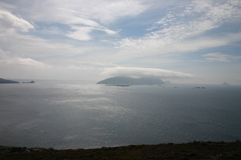
Six islands and many rocks off the tip of the peninsula. On the Great Blasket you can walk among the ruined village and along the island’s green spine, with seals hauled out on the white strand below. There are no shops and almost no shelter.
Practical: Seasonal ferries from Dunquin, Ventry and Dingle, weather permitting. Bring food, water and waterproofs. Landing is by dinghy.
5 Gallarus Oratory
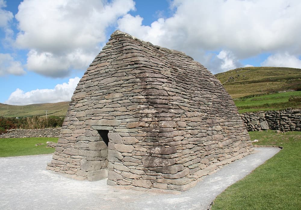
A small early Christian church shaped like an upturned boat, built entirely of unmortared stone so skilfully fitted that it is still watertight. Its date is debated — somewhere between the seventh and twelfth centuries. Nearby are the ruined Romanesque church of Kilmalkedar and the Riasc monastic site, with its carved pillar stone.
Practical: The oratory is a national monument, free to enter by the public path; a privately run visitor centre beside it charges for parking and an audiovisual show.
6 The Conor Pass
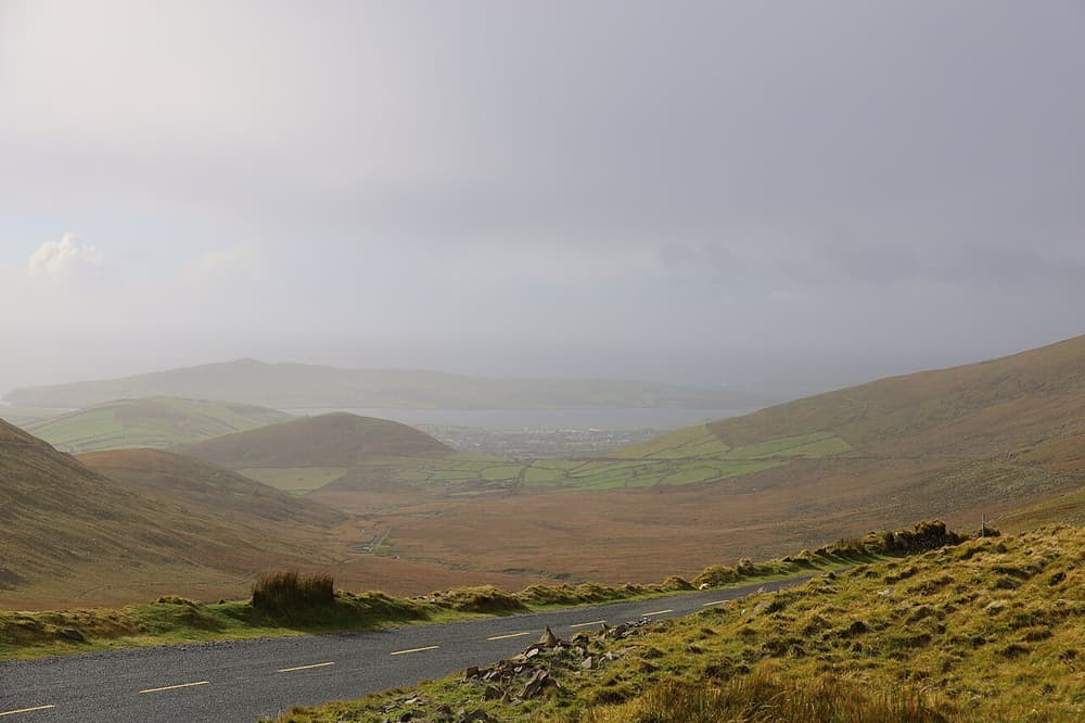
The road from Dingle north to Castlegregory and Tralee climbs to 456 metres between Brandon and the central mountains, with a car park at the top looking over corrie lakes to Brandon Bay. The northern descent narrows to a single lane cut into the cliff.
Practical: Free. Not permitted for vehicles over 2 tonnes, so no coaches or large camper vans. Avoid it in fog, ice or after dark; the main N86 is the alternative.