Sligo’s sights cluster within 15 km of Sligo town; Mayo’s are more widely spread around Clew Bay and to the north. The two towns are about 1 h 30 min apart by road.
1 Benbulben & Yeats country
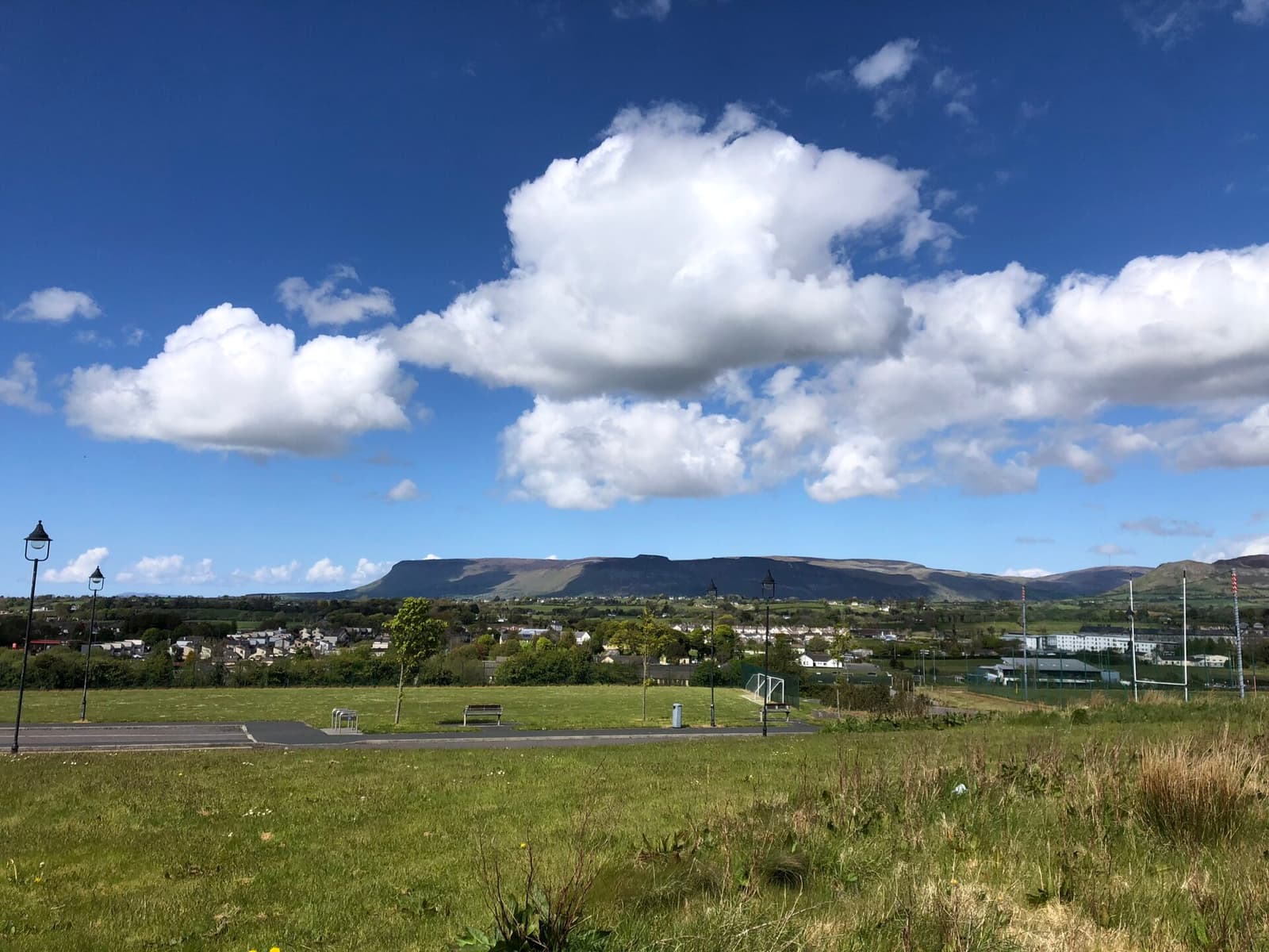
Benbulben’s 526-metre limestone prow, carved by glaciers, dominates north Sligo. At its foot, W. B. Yeats lies in Drumcliffe churchyard beneath his own epitaph, beside a round tower and a carved high cross. Nearby are Glencar Waterfall, which he put into a poem, and Lissadell House, home of the Gore-Booth sisters. A forest loop walk at Gortarowey gives close views of the mountain.
Practical: Drumcliffe is 8 km north of Sligo town on the N15; churchyard free. Lissadell opens seasonally and is ticketed. Do not attempt the summit without local knowledge — the plateau edge is treacherous.
2 Carrowmore & Knocknarea
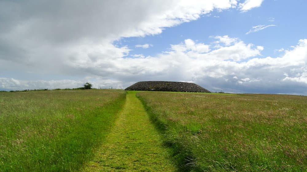
Carrowmore is among the largest and oldest megalithic cemeteries in Ireland: some thirty surviving dolmens and stone circles scattered across fields, the earliest dating from around 3700 BC. Above it, on the summit of Knocknarea, sits a huge unopened cairn said to be the tomb of the legendary Queen Maeve.
Practical: Carrowmore: OPW visitor centre, open seasonally (Heritage Card valid), 5 km from Sligo town. Knocknarea is a 45-minute climb from the Strandhill side car park; please do not climb on the cairn.
3 Westport
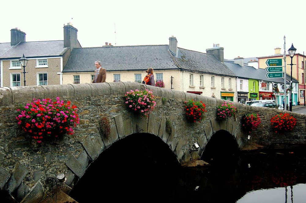
Laid out in the 1780s for the Browne family of Westport House, the town has a rare elegance: an octagonal square, a clock tower and lime trees shading the Carrowbeg River along the Mall. Matt Molloy’s pub, owned by the flautist of The Chieftains, has music nightly. Westport House, a fine Georgian mansion, was built on the foundations of a castle of the sixteenth-century “pirate queen” Grace O’Malley. The old quay, 2 km west, has pubs and seafood restaurants.
Practical: Town free to explore. Westport House and its grounds are ticketed; check opening, as the estate has been under redevelopment.
4 Croagh Patrick
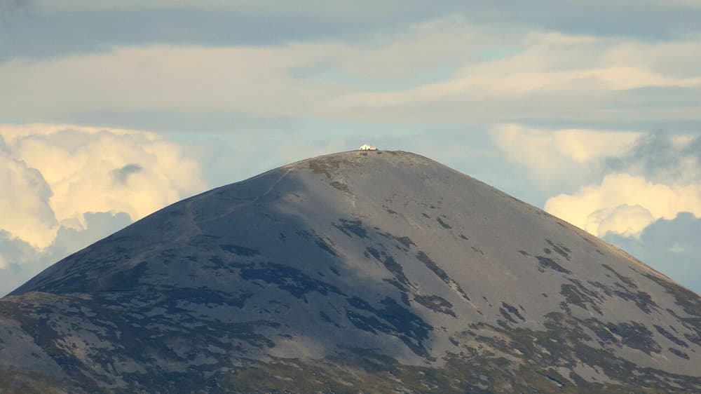
Ireland’s holy mountain, 764 metres high, where St Patrick is said to have fasted for forty days in 441. On Reek Sunday, the last Sunday in July, thousands of pilgrims climb it. The path from Murrisk is steep, with loose scree on the final cone, and the view over the drowned drumlins of Clew Bay — an island, they say, for every day of the year — is unforgettable. At its foot is the National Famine Memorial.
Practical: Trailhead and paid car park at Murrisk, 8 km west of Westport. Allow 3.5–5 hours return. Wear boots, bring water and a stick; do not climb in cloud or high wind.
5 Achill Island & Keem Bay
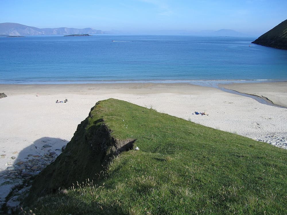
Ireland’s largest offshore island is reached by a short bridge. Its Atlantic Drive loops past Grace O’Malley’s tower at Kildavnet and along a wild south coast; beyond the village of Keel and its surf beach, the road climbs a cliff and drops to Keem Bay, a horseshoe of pale sand between green headlands. On the slopes of Slievemore, nearly a hundred roofless stone cottages form the Deserted Village.
Practical: About 1 hour from Westport by car to Achill Sound; Keem is 30 minutes further. Free. The road to Keem is narrow and exposed, and the small car park fills on fine days.
6 Downpatrick Head & the Céide Fields
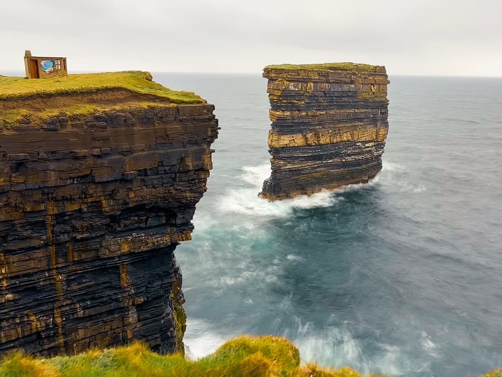
On the remote north Mayo coast, the layered sea stack of Dún Briste stands 50 metres high just off Downpatrick Head, with blowholes in the turf behind. A few kilometres west, the Céide Fields are the oldest known field systems in the world — stone walls laid out by farmers almost 6,000 years ago and preserved under blanket bog.
Practical: About 1 h 15 min north of Westport, 1 hour west of Sligo. The headland is free and unfenced — keep well back from the edges. Céide Fields visitor centre: OPW, seasonal.